Source: WRAL
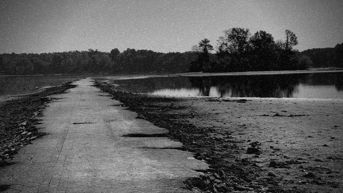
As drought chokes 63% of the state, the waters at Lake Jordan State Park have receded to reveal the remnants of lost towns drowned beneath the waters.
Seaforth. Farrington. Lane.
“…And Friendship, which was one of the first integrated communities where even right after the Civil War, black and white people could live as neighbors,” listed Bob Crowley, curator of the North Carolina Railway Museum while speaking to ABC11.
In the interview Crowley describes how early settler’s had struggled to cross the New Hope River until the late 1700s when a local farmer, Francis Cypert, applied to the colony of North Carolina to build a bridge. The new bridge linked Cypert’s farmland on either side of the river and fostered growth and commerce to the area. Eventually Cypert’s route grew into the roots of the future route of Highway 64.
The region’s history stretches back even further with the NC Dept of Natural and Cultural Resources listing over 350 archeological sites in the area dating 10,000 years into the past. The area is also home to several Civil and Revolutionary War battle sites.
But history could save the New Hope Valley from hurricane season. In 1945 the category 4 “Homestead Hurricane” sparked flash flooding along the Cape Fear River basin, destroying thousands of homes and causing $60 million in damages across the country.
Congress intervened, the Army Corp of Engineers drew up plans, and as eminent domain took effect the towns of the New Hope Valley drifted into the ghostly memory alongside the towns beneath Lake Fontana, Falls Lake, and Roanoke Rapids Lake.
By 1967 construction had started on the B. Everett Jordan Lake and Dam, named after the North Carolina senator who had advocated for the project.
Finally, in February 1982 the waters had finally filled the area locally known as Lake Jordan.
And today, if you walk along the shoreline, you just might glimpse some history.


